A local family taking a walk in the area leading up to Fleet Pond
David Pottinger writes:
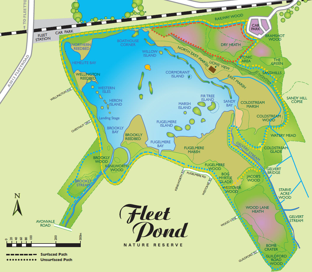
One of the most popular articles on this blog is the one that describes three walks (short, medium and long) that you can take around Fleet Pond. The walk details are given here and are illustrated in the map below (see the red, yellow and blue dotted lines).
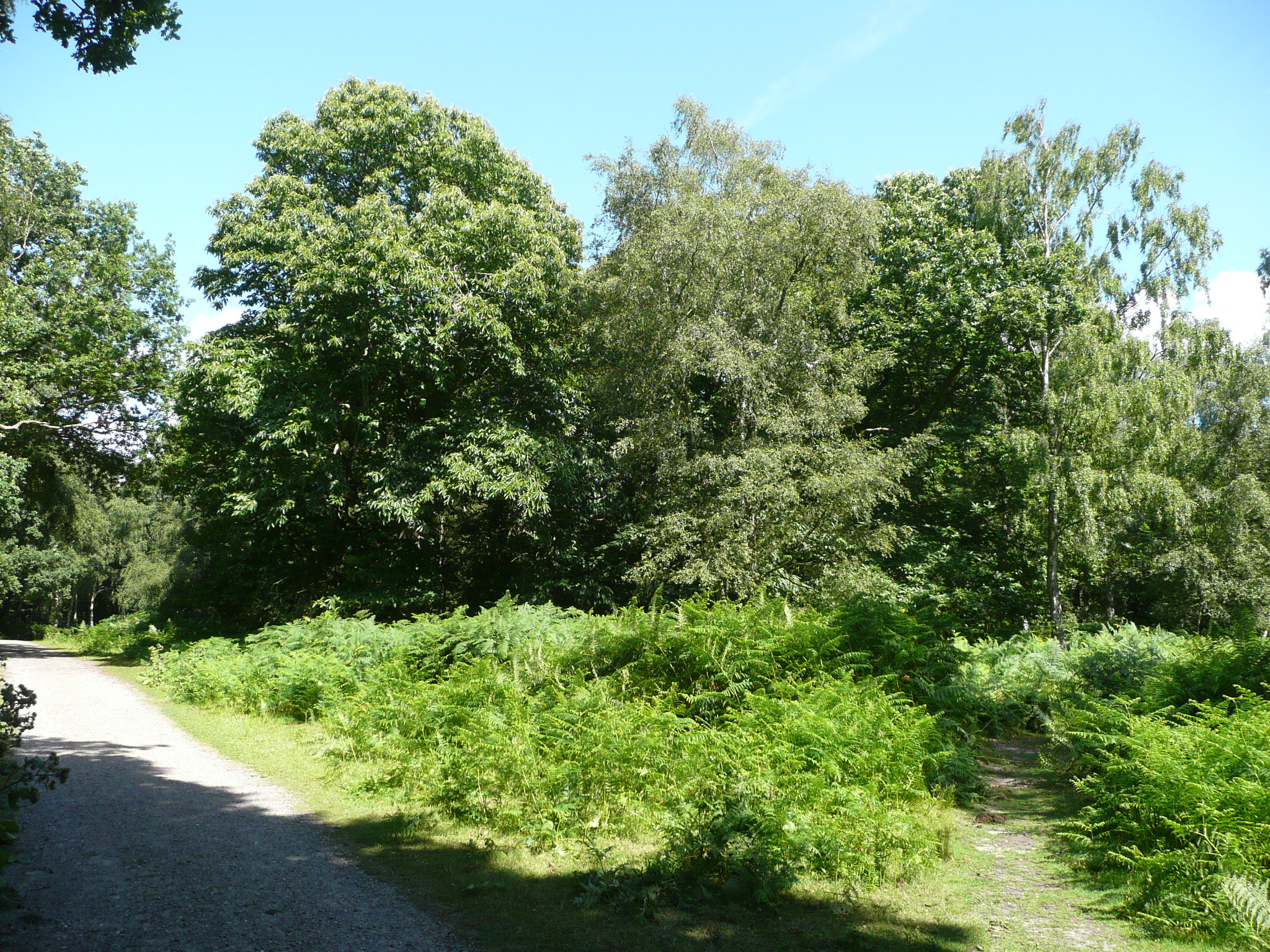
You can of course venture a bit further out and explore the area that corresponds to the RHS of the above map. There are various turnings from the Pond you can take to get there (one is illustrated below, leading up the incline) or else you can start directly from the car park.
Of course, a good map of the area would always be helpful to avoid getting lost! However this area seems quite popular and there are often other walkers that you can ask if you get a bit disoriented.
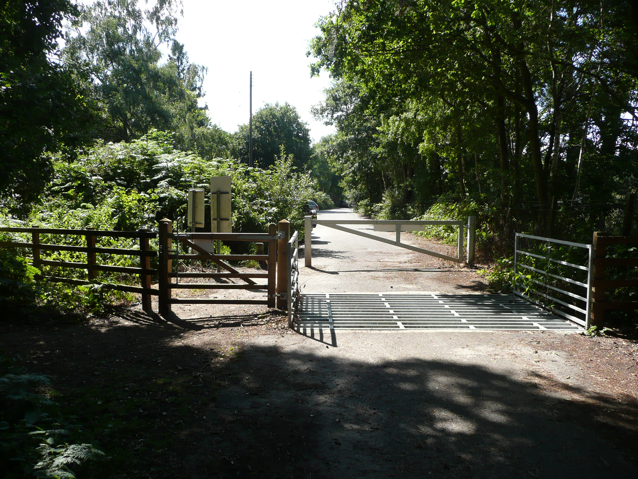
The land actually belongs to the Secretary of State for Defence but the public are permitted to use all parts of it for open-air recreation (with some exemptions). The full details can be found on the various signs dotted around the site (see picture below).
To give a flavour, here are some photos of this interesting area that I took a couple of years ago. This corresponds to the upper RHS in the map above; by the way, the train track provides a handy reference for general orientation.
If you fancy a longer walk some time, or perhaps just something a little different, why not give it a go?
In addition, if it impressed you, perhaps you could leave a review on TripAdvisor? Feedback is really invaluable!


