David Pottinger writes:
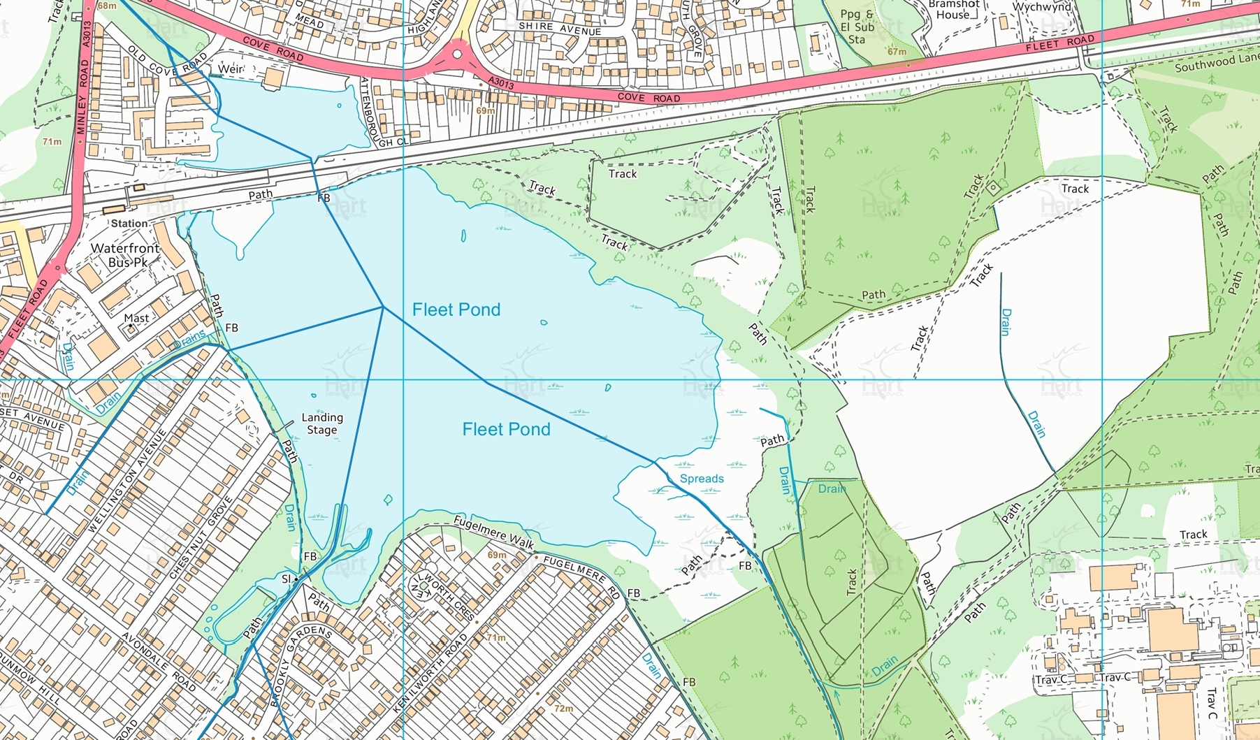
The other day I was making an online payment to Hart District Council and I noticed that their website now includes a very interesting and helpful interactive map of the area (see the example screenshot above).
The link is here (I’ve found the responsivesness of the site can vary, you may need to try a few times).
Notice that on the lhs you can overlay various criteria. For the picture above I have chosen Planning Information (General) and then Rivers (the blue lines above).
On the top of the map you can also choose Background and this covers aerial imagery from 1997 to 2013.
The online map is also useful if you plan to explore the environs of Fleet Pond, as described in a previous post here.
Anyway, it’s certainly worth a look!

